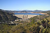
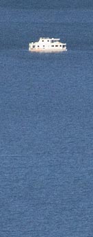
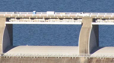
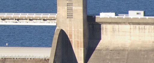
Shasta Dam Virtual TourNovember 30, 2004; by Igor Polk Here is the virtual tour of the Shasta Dam. North from Redding, California, a dam was build in 1945. Dammed up crystal waters of Sacramento river filled up Shasta Lake reservoir. This little tour has 28 pictures. They are all linked together. To start from any location below click on a picture.
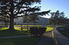
This tour was made on the way from San Francisco to Portland in October. Redding is a good place to stop and have rest. A blue river, green parks, red rocks, the Sundial Bridge, a museum at Turtle Bay, and finally the Dam and Shasta lake make it worthwhile to spent a whole vacation here.
|


Links: • Shasta Dam • Forest |
CD ROM is available, 28 pictures. San Francisco Click photo magazine |
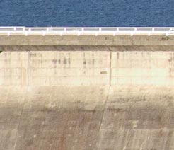
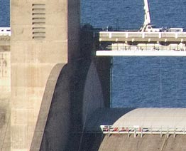
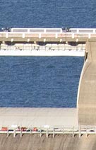
| Structural Height - 602 ft ( 200 m ); Length - 3460 ft ( about 1 km ); Base Width - 543 ft ( about 170 m ); Material - concrete |